FEMA Section 106 Notices for Louisiana
"Public Notice Regarding Historic Review of Privately-Owned Residential Buildings Proposed for Demolition in Orleans Parish, Louisiana - Collapsed Buildings for Informational Purposes"
|
Public Notice Regarding Historic Review of Privately-Owned Residential Buildings Proposed for Demolition in Orleans Parish, Louisiana - Collapsed Buildings for Informational Purposes
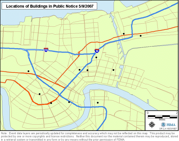
FEMA, in consultation with the Louisiana State Historic Preservation Office (SHPO) has determined that some of the buildings proposed for demolition are in a state of collapse and have lost any historic integrity they may have had prior to the disaster. This means that these collapsed buildings are not eligible for listing in the National Register of Historic Places and FEMA has completed its Section 106 responsibilities for these buildings. For informational purposes, a list of these properties and a map of their locations are included below.
|